City of Englewood : Floodproofing study & outfall system plan (OSP) Update
Introduction
Severe flooding during the summer of 2018 brought into focus the need to reduce flood hazard in Englewood. The City of Englewood contracted with Calibre Engineering to evaluate ways to reduce flood hazard in some of the City’s most predominantly affected watershed basins, as identified in the Scope of Work. The evaluation included an update of the City’s OSP, a conditions assessment of the stormwater pipe at Oxford and Santa Fe, and presentation of floodproofing techniques for residents. This website documents that evaluation and presents findings, including ways that Englewood residents can protect their homes. Finally, this website presents projects that Englewood can implement to decrease flood levels in the basins that were included in this study.
This study specifically updates the information from the 1998 and 1999 Englewood OSP Studies (Turner Collie & Braden).
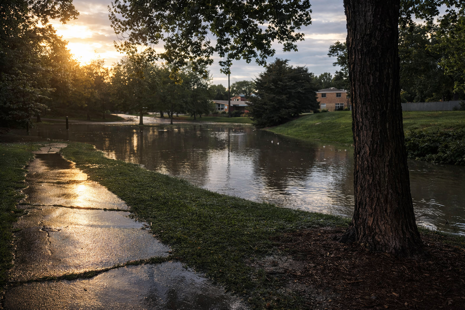
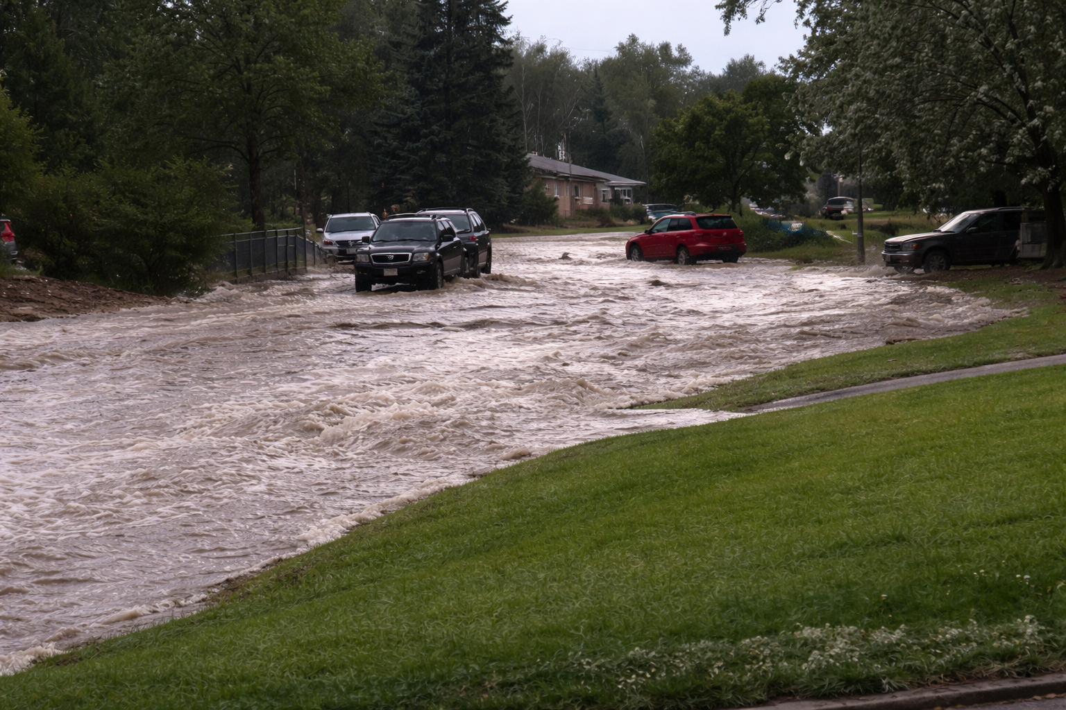
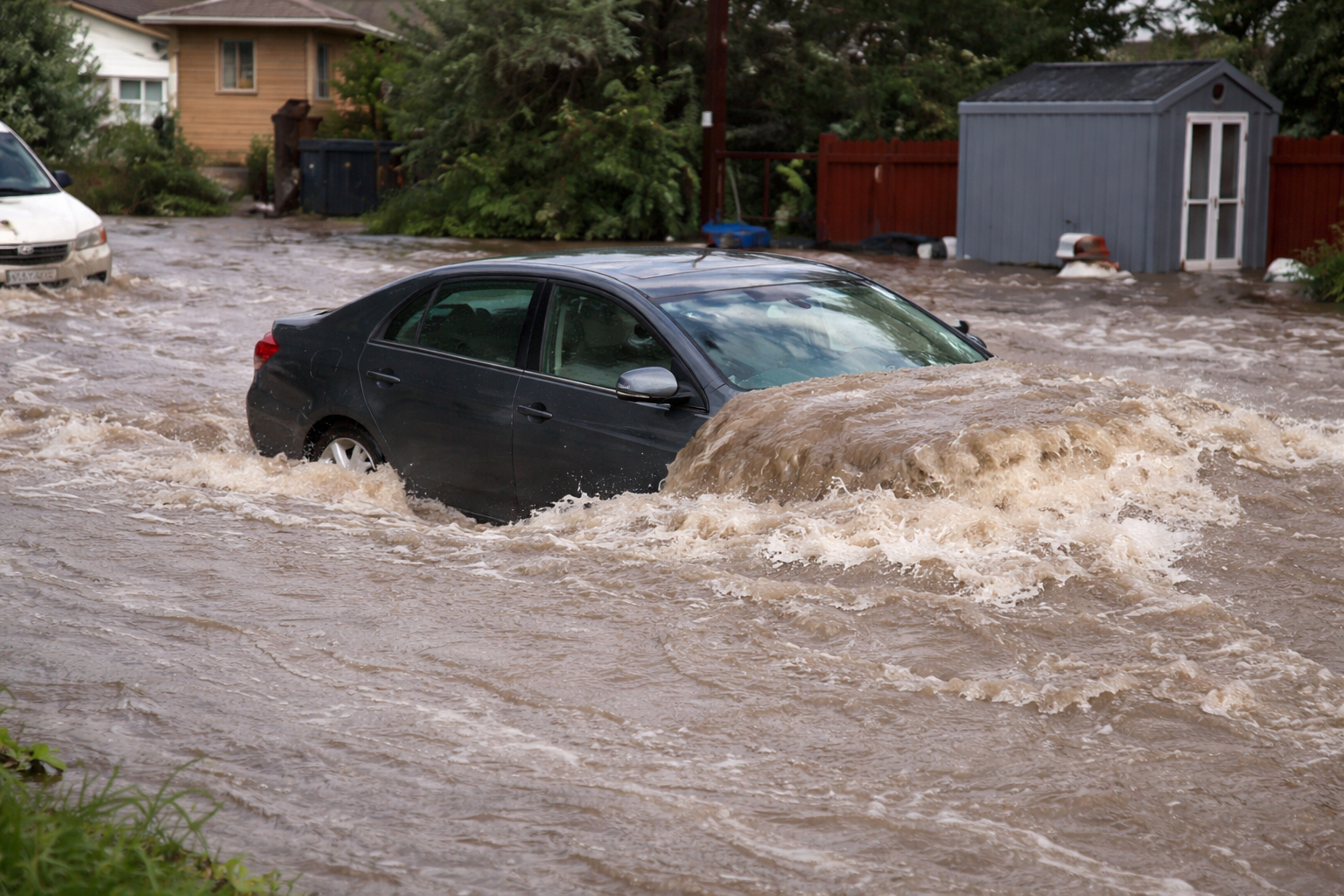
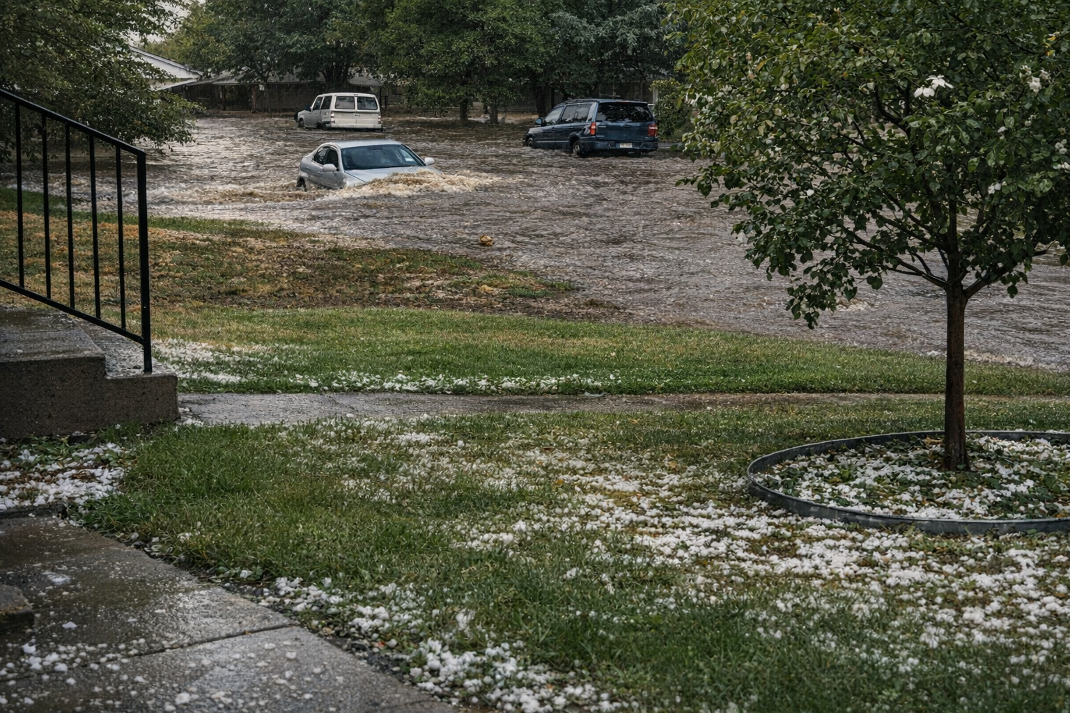
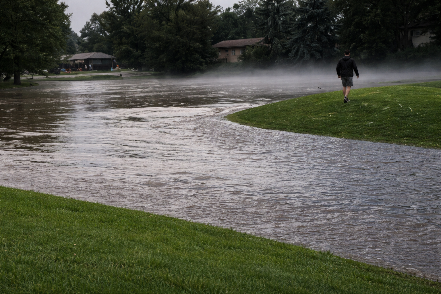
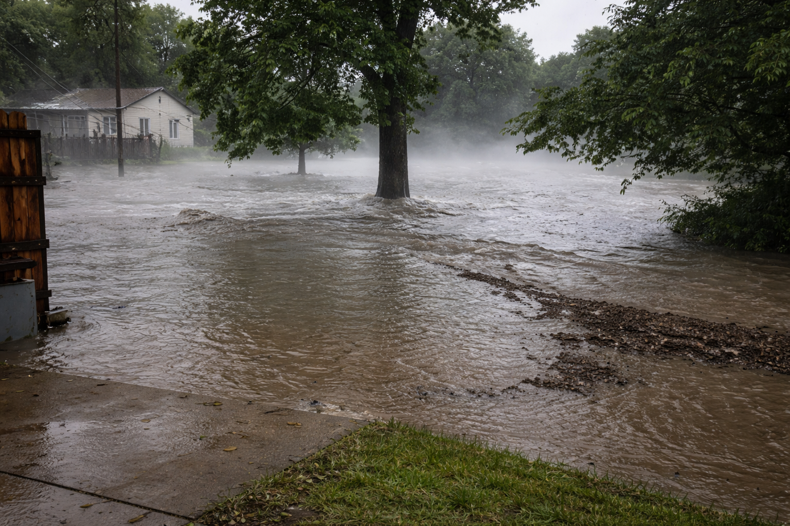
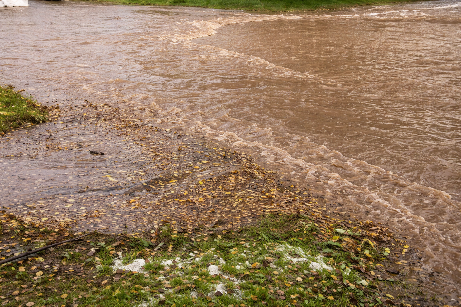
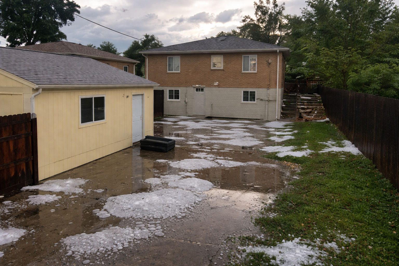
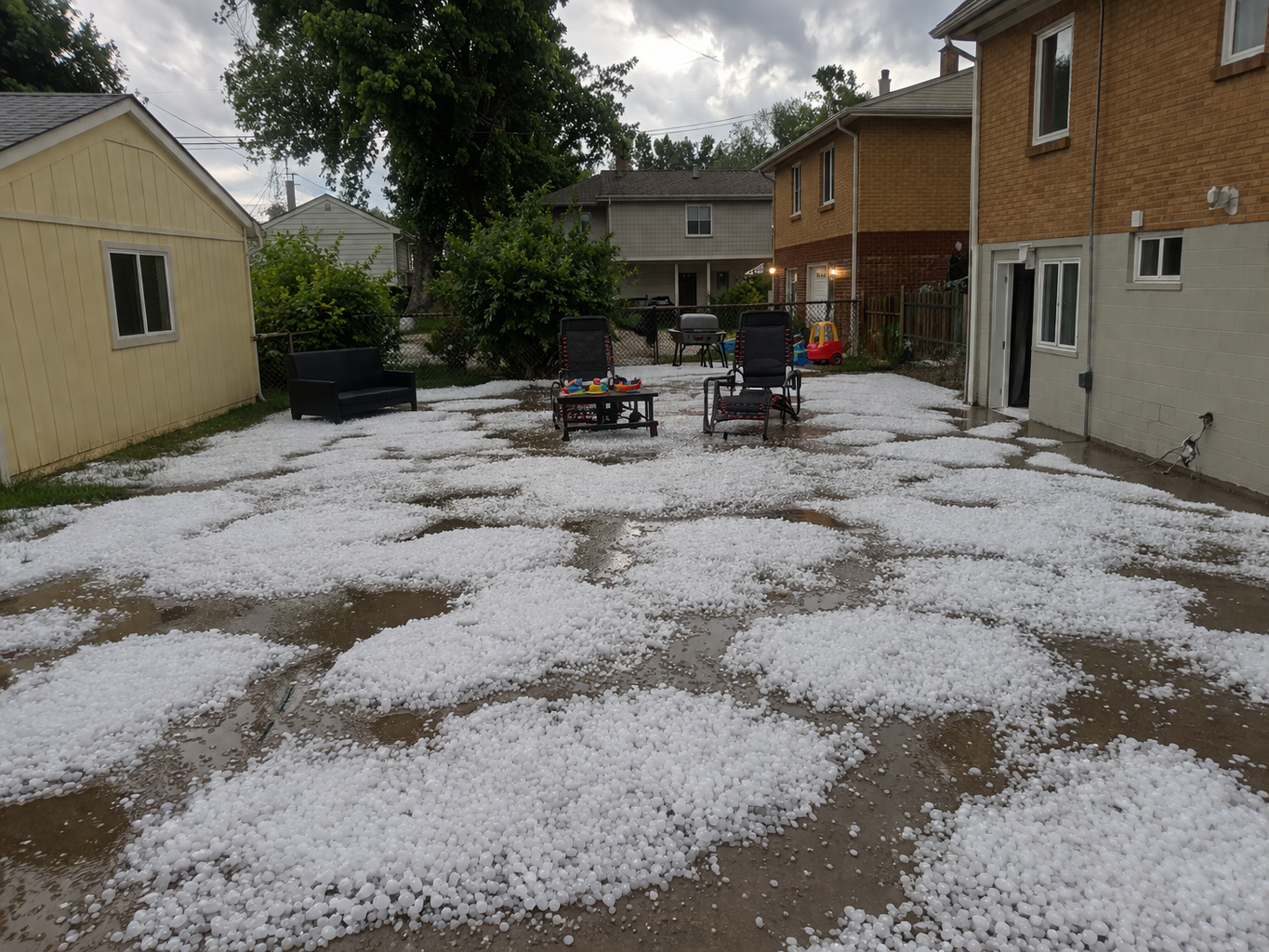
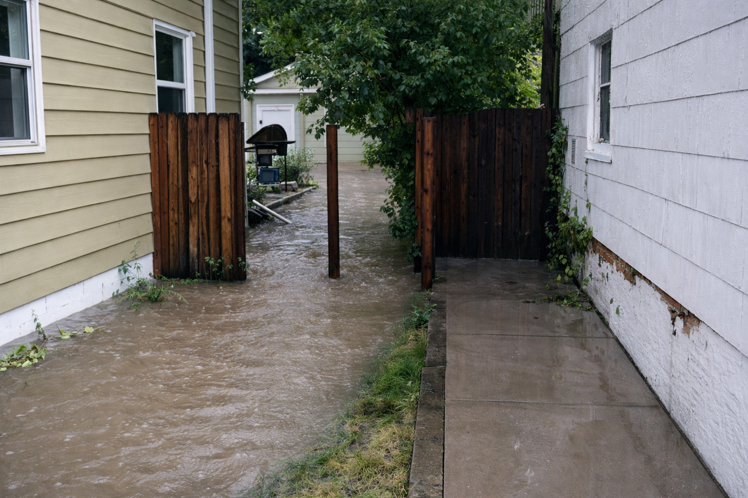
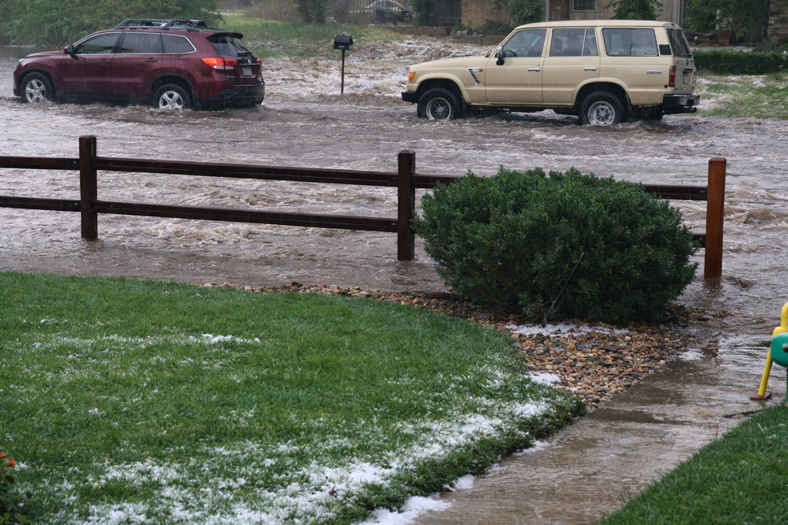
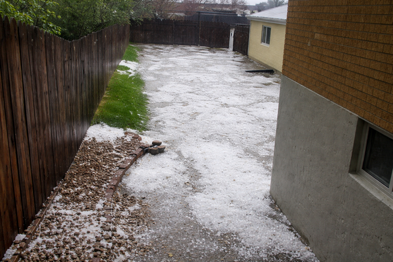
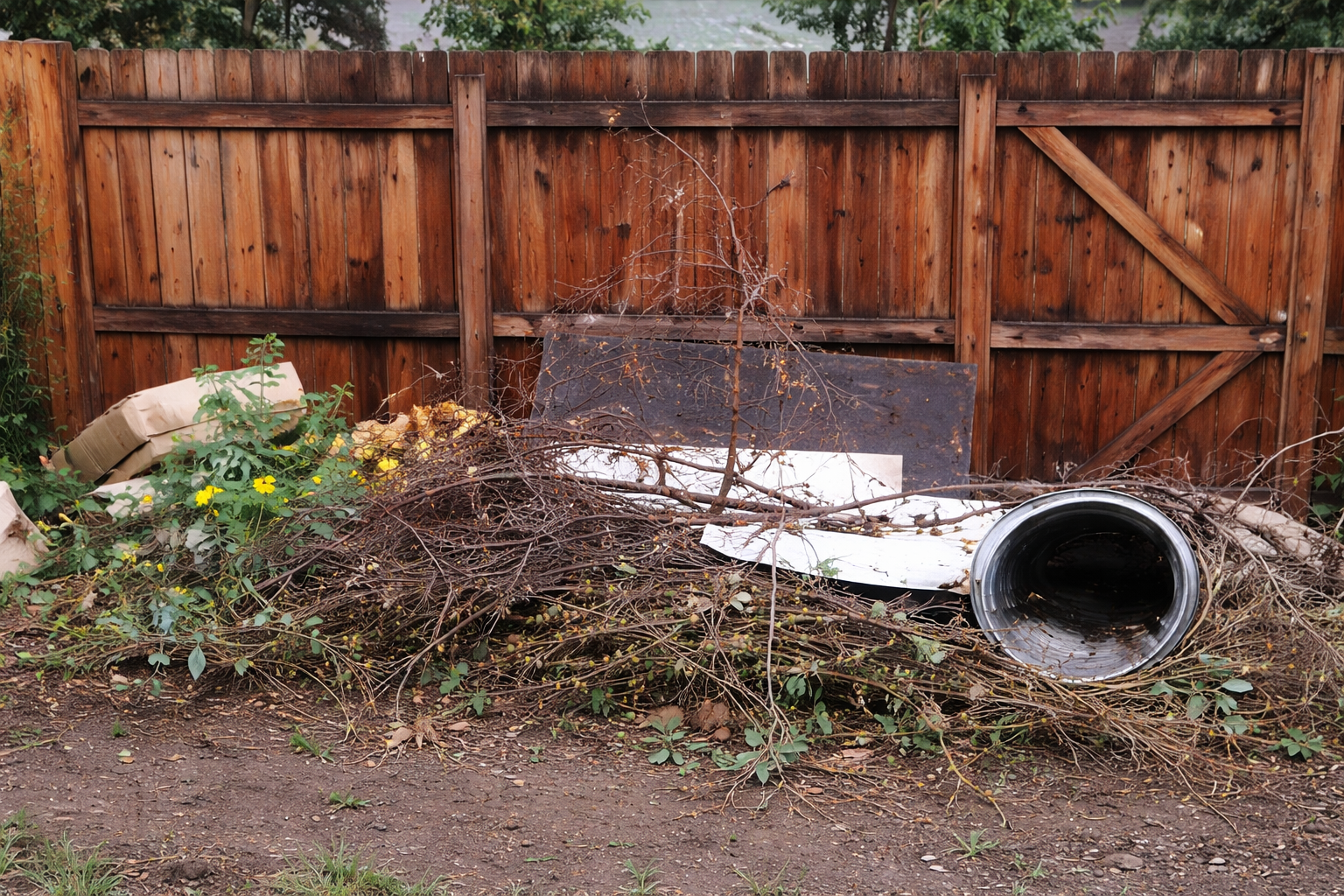
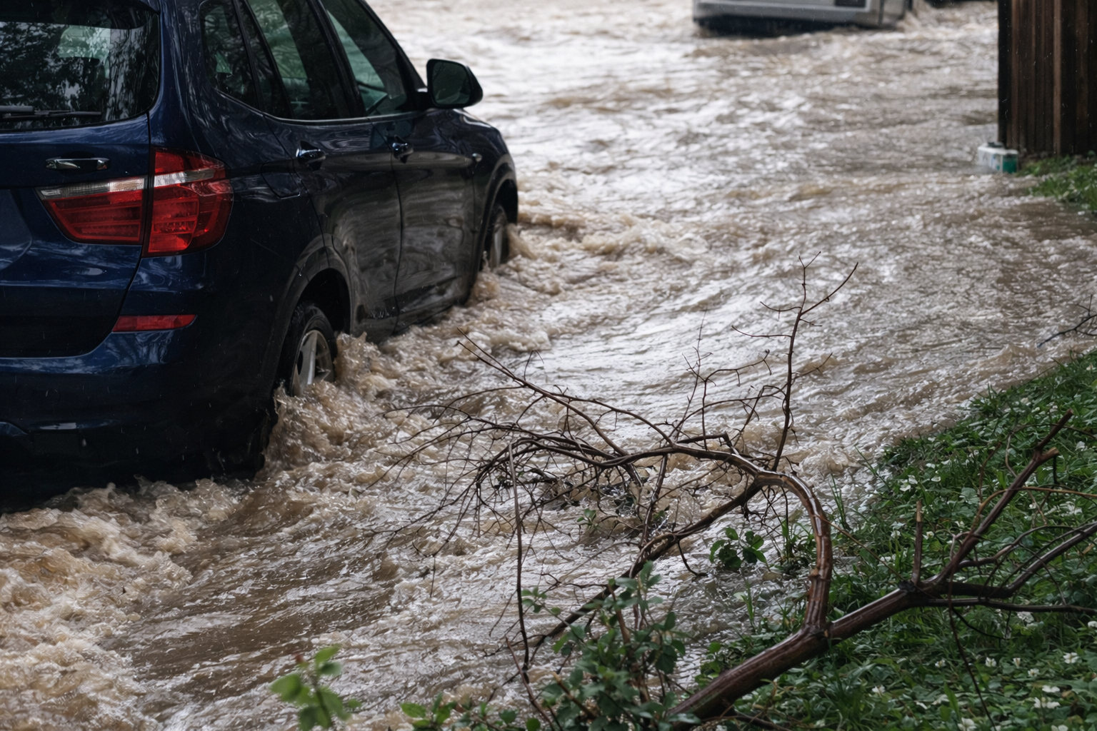
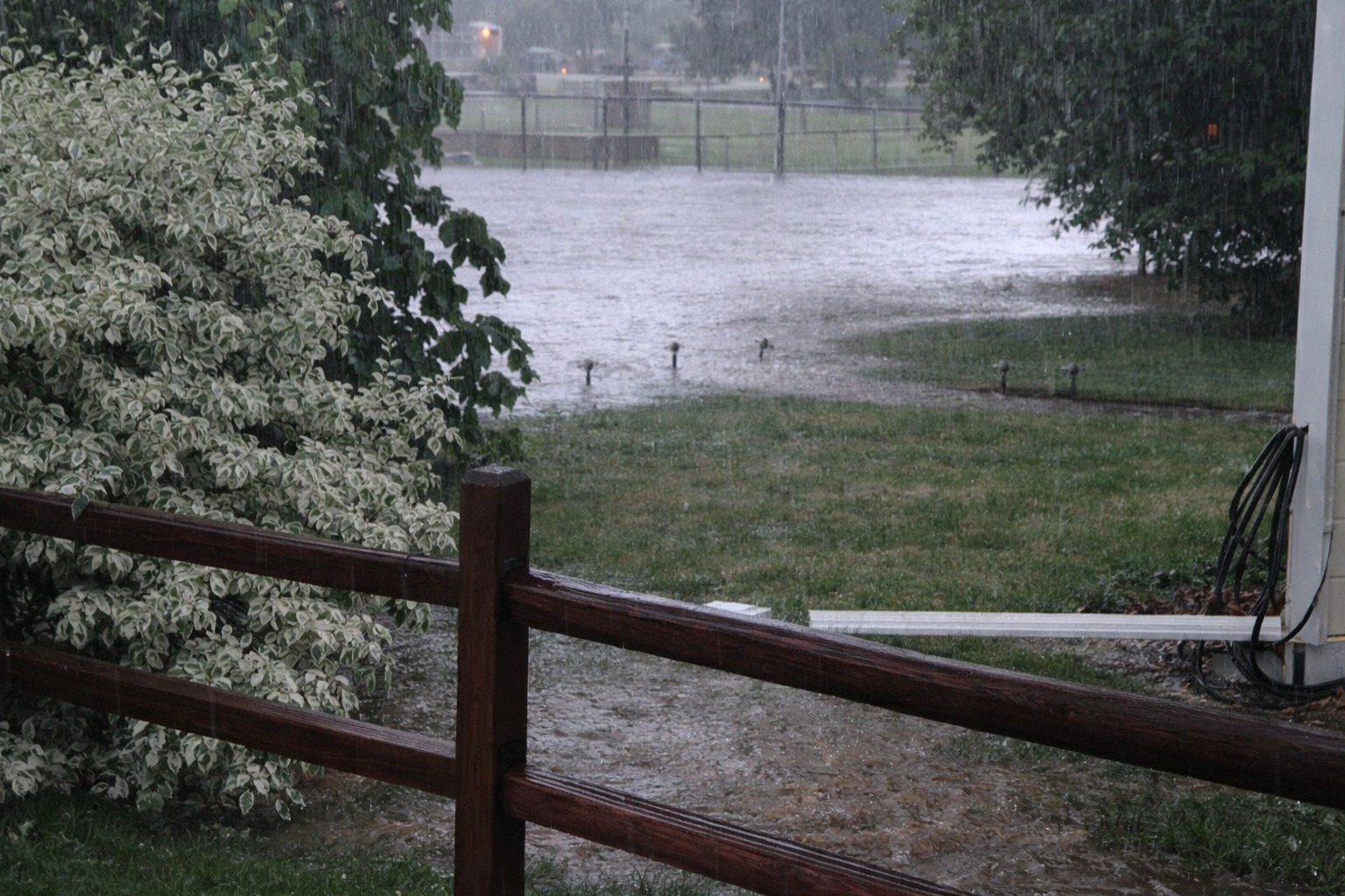
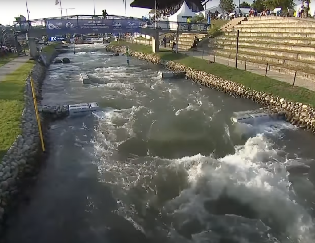
The photos below illustrate the types of flooding experienced by the area included in this study. Thank you to the City of Englewood and Englewood citizens and businesses for providing images.


Goals
The main goal of this Study is to take the initial steps in planning for flood hazard reduction in Englewood. The Study takes a three-pronged approach to identify and mitigate areas of potential flooding at various rainfall/runoff levels:

- Determine and define ways of reducing flood damage through floodproofing techniques.
- Update the existing Outfall Systems Plan (OSP) and capital projects with budgets and a prioritized list of storm drainage projects.
- Assess the current conditions of the stormwater pipeline beneath Oxford, identify causes of past failures and potential causes of future failures, and describe remediation techniques .
If you are a homeowner or citizen and you are interested in floodproofing your home or building, please click here to take you to the Floodproofing Study page.
Focus of the Study
This study answers three questions:
- What can be done immediately to flood-proof homes in the affected areas?
- What long-term regional storm drainage improvements can be implemented to eliminate or greatly reduce flooding?
- What is the status of the Oxford Avenue storm sewer outfall and what can the City do to prevent future failures and/or sinkholes?
Various maps and graphics are presented within this site. This includes, but is not exclusive to, maps depicting flooding levels expected for a wide variety of storms, maps that depict proposed Capital Improvement Projects, maps that document citizen reported flooding, maps that demonstrate existing infrastructure, etc. Each map or graphic includes an explanation of its content.
Standards & Resources
Resources used in preparing this website:
- US Army Corps of Engineers. Flood Proofing Techniques, Programs, and References. Omaha: US Army Corps of Engineers, 2000. (pp. 1–32).
- FEMA. FEMA P-259: Engineering Principles and Practices for Retrofitting Flood-Prone Residential Structures. FEMA, 2012.
- FEMA. FEMA P-312: Homeowner’s Guide to Retrofitting: Six Ways to Protect Your Home from Flooding. FEMA, 2014.
- MegaSecur-WaterGate. “MegaSecur | Products.” Retrieved 2018 10 25 from: www.megasecur.com/en/products/
- US Army Corps of Engineers. Flood Proofing Regulations. Washington DC: Army Corps of Engineers, 1995. (pp. 1–85).
- WMGB Home Improvement. “Advantages of Basement Egress Windows.” Retrieved 2018 10 15 from: www.wmgb.com/egress-windows/advantages-basement-egress-windows/
Scope of the Study
This project utilizes basin delineation from the 1998/1999 OSP as show in the image below. As presented in the 1998/1999 OSP, this project focuses on the South Englewood Basin, South-Central Englewood Basin, Central Englewood Basin, Yale Avenue Basin, and North Englewood Basin, as shown in the image below.

This graphic shows the basin areas included in the subject study as defined and delineated in the 1998/1999 OSP. These basin areas were noted in the 1998/1999 OSP as “Probable Areas Affected by Flooding from the 100-Year Storm” (1998).
Flood Insurance
Flood Insurance is available to anyone, regardless of whether your property is within a delineated floodplain or not. All homes in or near the study area should consider the benefits of flood insurance. In addition to homes within these delineations, other homes are or may be subject to localized flooding. Therefore, even if your home is outside delineated flood limits or Areas of Probable Flooding, it may be advisable to consider insurance.
Up to $250,000 of structural coverage is available through the National Flood Insurance Program (NFIP). The 2018 rates can be downloaded using the link above.
Please see the FEMA NFIP website for more information.
The subject study was limited to the North Englewood Basin, Northeast Englewood Basin, Central Englewood Basin, South Central Englewood Basin, and South Englewood basin as delineated by the 1998/1999 OSP, as referenced herein. Citizens outside the limits of the subject areas should also consider Flood Insurance.
If you have any question about whether flood insurance is important for your home, please contact the City of Englewood Public Works Department or consult with a Professional Engineer (PE).
Scope of Services
Calibre worked with the City of Englewood to develop a Scope of Work (SOW) to address the basin areas of focus shown above and as defined by the 1998/1999 OSP. The work needed to be done quickly so that Englewood could proceed in addressing these known risks to residents. As such, the schedule of this project was shortened as much as possible, and the work done for this study built upon work that others had completed in the study watershed basin.
The final Scope of Work was as follows:
Life Safety Assessment and Floodproofing Report
- Coordinate and meet with City
- Provide project planning and project management
- Conduct citizen outreach survey and one-on-one meetings
- Conduct site visits and field recon for problem areas
- Process data
- Map flood concerns
- Research floodproofing techniques (including, but not exclusive to, FEMA, USACE, City and County of Denver, City of Aurora, UDFCD)
- Develop schematic-level details for floodproofing techniques
- Provide cost estimates for floodproofing techniques
- Conduct public meeting
Outfall Systems Plan Update & Capital Project Prioritization
- Coordinate and meet with City
- Provide project planning and project management
- Obtain and review existing maps and plans
- Plot utilities
- Prepare base map
- Review existing studies
- Review and determine flood depths at cross sections
- Review existing proposed capital projects and analyze for flood hazard reduction
- Update cost estimates for existing proposed capital projects
- Perform hydrologic analysis and hydraulic analysis based on new data
- Plot new limits of expected flooding
- Compare flood hazard reduction via floodproofing with project costs
- Develop prioritization schema
- Evaluate pond locations (up to 5)
- Evaluate existing projects
Pipe Conditions Assessment
- Perform a conditions assessment of the Oxford Pipeline system
- Provide recommendations for rehabilitation or preservation of the pipe
Digital Report (Plan)